 vesseltracker.com
 Catherine C
Current Status
Where is the vessel?
Catherine C is currently in 293 nm E of Kilifi, based on AIS data received about 1d ago.
Latest AIS update:
Current position: 5.01013° S, 44.53868° E (293 nm E of Kilifi)
Average speed (last 7 days): Loading…
Average speed (last 30 days): Loading…
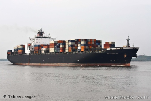
Vessel profile: Catherine C is a Container Ship with dimensions 299m x 40m.
This page combines live AIS, route history, probable destination signals, nearby traffic, and port activity for practical vessel monitoring.
The current position of vessel Catherine C is -5.01013 lat / 44.53868 lng. Updated: 2026-03-31 06:28:44 UTCNearest reference points:
- 312 nm E of Dar Es Salaam
- Open sea, approx. 401 nm off the nearest listed port
- Open sea, approx. 402 nm off the nearest listed port
Currently sailing under the flag of Liberia ![]()
Catherine C built in 2001 year
Deadweight:
77900 tDetails:
Live Vessel Catherine C Analytics (details, animations, etc.)
Recent AIS points (UTC):
2026-03-31 06:08:09 UTC · -5.04712, 44.43261 · SOG 19.5 kn · COG 75°2026-03-31 06:28:44 UTC · -5.01013, 44.53868 · SOG 19.8 kn · COG 75°
2026-03-31 06:28:44 UTC · -5.01013, 44.53868 · SOG 19.8 kn · COG 75°
2026-03-31 06:28:44 UTC · -5.01013, 44.53868 · SOG 19.8 kn · COG 75°