 vesseltracker.com
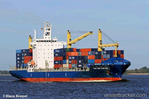
 Chiquita Progress
Current Status
Where is the vessel?
Chiquita Progress is currently in Near Hueneme, based on AIS data received less than 1h ago.
Latest AIS update:
Current position: 34.14778° N, 119.20675° W (Near Hueneme)
Average speed (last 7 days): Loading…
Average speed (last 30 days): Loading…
Vessel profile: Chiquita Progress is a Container Ship with dimensions 202m x 204m.
This page combines live AIS, route history, probable destination signals, nearby traffic, and port activity for practical vessel monitoring.
The current position of vessel Chiquita Progress is 34.14778 lat / -119.20675 lng. Updated: 2026-04-29 22:47:50 UTCNearest reference points:
- Near Hueneme
- Near CHANNEL ISLANDS
- Near VENTURA
Currently sailing under the flag of Liberia ![]()
Chiquita Progress built in 2007 year
Deadweight:
30562 tDetails:
Live Vessel Chiquita Progress Analytics (details, animations, etc.)
Recent AIS points (UTC):
2026-04-29 19:43:28 UTC · 34.14784, -119.20681 · SOG 0 kn · COG 271°2026-04-29 20:14:11 UTC · 34.14780, -119.20686 · SOG 0 kn · COG 224°
2026-04-29 21:44:22 UTC · 34.14782, -119.20676 · SOG 0 kn · COG 271°
2026-04-29 22:47:50 UTC · 34.14778, -119.20675 · SOG 0 kn · COG 272°