 vesseltracker.com
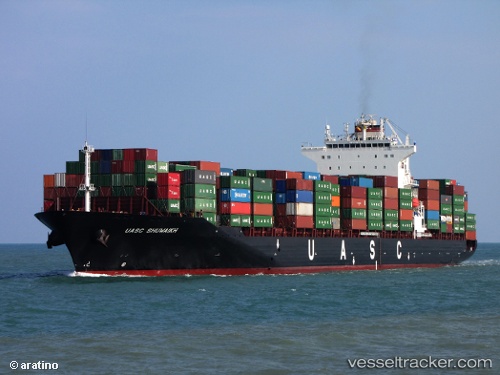
 Sm Mumbai
Current Status
Where is the vessel?
Sm Mumbai is currently in Near FRASER SURREY, based on AIS data received about 30d ago.
Latest AIS update:
Current position: 49.18805° N, 122.91293° W (Near FRASER SURREY)
Average speed (last 7 days): Loading…
Average speed (last 30 days): Loading…
Vessel profile: Sm Mumbai is a Container Ship with dimensions 260m x 260m.
This page combines live AIS, route history, probable destination signals, nearby traffic, and port activity for practical vessel monitoring.
The current position of vessel Sm Mumbai is 49.18805 lat / -122.91293 lng. Updated: 2026-04-14 16:40:18 UTCNearest reference points:
- Near FRASER SURREY
- Near Annacis Island
- Near Fraser Mills
Currently sailing under the flag of Liberia ![]()
Sm Mumbai built in 2009 year
Deadweight:
50849 tDetails:
Live Vessel Sm Mumbai Analytics (details, animations, etc.)
Recent AIS points (UTC):
2026-04-14 16:40:18 UTC · 49.18805, -122.91293 · SOG 0 kn · COG 24°