 vesseltracker.com
 Dominica
Current Status
Where is the vessel?
Dominica is currently in 99 nm NE of Enmore, based on AIS data received less than 1h ago.
Latest AIS update:
Current position: 8.22037° N, 57.19383° W (99 nm NE of Enmore)
Average speed (last 7 days): Loading…
Average speed (last 30 days): Loading…
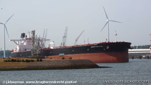
Vessel profile: Dominica is a Crude Oil Tanker with dimensions 336m x 60m.
This page combines live AIS, route history, probable destination signals, nearby traffic, and port activity for practical vessel monitoring.
The current position of vessel Dominica is 8.22037 lat / -57.19383 lng. Updated: 2026-04-30 22:01:28 UTCNearest reference points:
- 57 nm NE of Adventure
- 38 nm NW of Jarikaba
- Near Paramaribo Zorg en Hoop Airport
Currently sailing under the flag of Liberia ![]()
Details:
Live Vessel Dominica Analytics (details, animations, etc.)
Recent AIS points (UTC):
2026-04-30 19:33:14 UTC · 8.14167, -57.14833 · SOG 12 kn · COG -1°2026-04-30 20:12:19 UTC · 8.20667, -57.17167 · SOG 1 kn · COG -1°
2026-04-30 22:01:28 UTC · 8.22037, -57.19383 · SOG 0.9 kn · COG 330°
2026-04-30 22:01:28 UTC · 8.22037, -57.19383 · SOG 0.9 kn · COG 330°