 vesseltracker.com
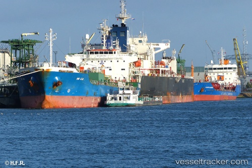
 Chem Mia
Current Status
Where is the vessel?
Chem Mia is currently in Near Charleston Heights, based on AIS data received less than 1h ago.
Latest AIS update:
Current position: 32.87912° N, 79.96761° W (Near Charleston Heights)
Average speed (last 7 days): Loading…
Average speed (last 30 days): Loading…
Vessel profile: Chem Mia is a Chemical Oil Products Tanker with dimensions 144m x 24m.
This page combines live AIS, route history, probable destination signals, nearby traffic, and port activity for practical vessel monitoring.
The current position of vessel Chem Mia is 32.87912 lat / -79.96761 lng. Updated: 2026-05-16 05:47:13 UTCNearest reference points:
- Near Charleston
- 33 nm S of Kiawah Island
- Near Saint Andrews
Currently sailing under the flag of Liberia ![]()
Chem Mia built in 2008 year
Deadweight:
19702 tDetails:
Live Vessel Chem Mia Analytics (details, animations, etc.)
Recent AIS points (UTC):
2026-05-16 02:34:21 UTC · 32.87920, -79.96767 · SOG 0 kn · COG 354°2026-05-16 04:06:46 UTC · 32.87917, -79.96762 · SOG 0 kn · COG 354°
2026-05-16 04:09:46 UTC · 32.87912, -79.96753 · SOG 0 kn · COG 354°
2026-05-16 05:47:13 UTC · 32.87912, -79.96761 · SOG 0 kn · COG 354°