 vesseltracker.com
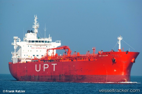
 Cape Gavi
Current Status
Where is the vessel?
Cape Gavi is currently in 17 nm NE of Caioba, based on AIS data received about 1h ago.
Latest AIS update:
Current position: 25.71887° S, 48.24694° W (17 nm NE of Caioba)
Average speed (last 7 days): Loading…
Average speed (last 30 days): Loading…
Vessel profile: Cape Gavi is a Chemical Oil Products Tanker with dimensions 185m x 27m.
This page combines live AIS, route history, probable destination signals, nearby traffic, and port activity for practical vessel monitoring.
The current position of vessel Cape Gavi is -25.71887 lat / -48.24694 lng. Updated: 2026-05-16 14:03:00 UTCNearest reference points:
- 24 nm E of Caioba
- 32 nm E of Caioba
- 10 nm NE of CAMBORIU
Currently sailing under the flag of Liberia ![]()
Cape Gavi built in 2008 year
Deadweight:
37606 tDetails:
Live Vessel Cape Gavi Analytics (details, animations, etc.)
Recent AIS points (UTC):
2026-05-16 10:44:57 UTC · -25.71880, -48.24623 · SOG 0.1 kn · COG 186°2026-05-16 11:34:42 UTC · -25.71833, -48.24500 · SOG 0 kn · COG -1°
2026-05-16 13:48:00 UTC · -25.71891, -48.24702 · SOG 0.1 kn · COG 159°
2026-05-16 14:03:00 UTC · -25.71887, -48.24694 · SOG 0.1 kn · COG 165°