 vesseltracker.com
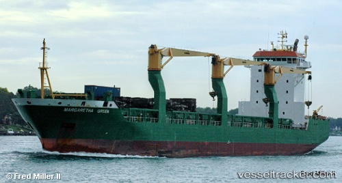
 TRANSBAY
Current Status
Where is the vessel?
TRANSBAY is currently in 18 nm SW of Seaford, based on AIS data received about 2h ago.
Latest AIS update:
Current position: 50.49903° N, 0.13328° W (18 nm SW of Seaford)
Average speed (last 7 days): Loading…
Average speed (last 30 days): Loading…
Vessel profile: TRANSBAY is a General Cargo Ship with dimensions 142m x 22m.
This page combines live AIS, route history, probable destination signals, nearby traffic, and port activity for practical vessel monitoring.
The current position of vessel TRANSBAY is 50.49903 lat / -0.13328 lng. Updated: 2026-04-25 01:34:02 UTCNearest reference points:
- 27 nm S of Seaford
- 23 nm S of Ferring
- 15 nm S of Selsey
Currently sailing under the flag of Liberia ![]()
TRANSBAY built in 1999 year
Deadweight:
17539 tDetails:
Live Vessel TRANSBAY Analytics (details, animations, etc.)
Recent AIS points (UTC):
2026-04-24 22:16:02 UTC · 50.74412, 0.83308 · SOG 12.9 kn · COG 233°2026-04-24 23:21:52 UTC · 50.62233, 0.52013 · SOG 12.5 kn · COG 249°
2026-04-25 01:31:02 UTC · 50.50146, -0.11929 · SOG 11.1 kn · COG 253°
2026-04-25 01:34:02 UTC · 50.49903, -0.13328 · SOG 11 kn · COG 253°