 vesseltracker.com
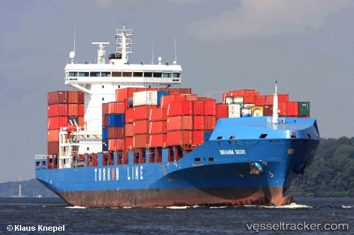
 ADMIRAL GALAXY
Current Status
Where is the vessel?
ADMIRAL GALAXY is currently in Near Ashdod, based on AIS data received about 2h ago.
Latest AIS update:
Current position: 31.83485° N, 34.64074° E (Near Ashdod)
Average speed (last 7 days): Loading…
Average speed (last 30 days): Loading…
Vessel profile: ADMIRAL GALAXY is a Container Ship with dimensions 183m x 28m.
This page combines live AIS, route history, probable destination signals, nearby traffic, and port activity for practical vessel monitoring.
The current position of vessel ADMIRAL GALAXY is 31.83485 lat / 34.64074 lng. Updated: 2026-04-19 19:01:06 UTCNearest reference points:
- Near AL ARISH
- Near Haifa
- 22 nm W of Haifa Granaries
Currently sailing under the flag of Liberia ![]()
ADMIRAL GALAXY built in 2008 year
Deadweight:
26811 tDetails:
Live Vessel ADMIRAL GALAXY Analytics (details, animations, etc.)
Recent AIS points (UTC):
2026-04-16 14:13:36 UTC · 32.24609, 34.49739 · SOG 10.2 kn · COG 202°2026-04-16 17:13:07 UTC · 31.95737, 34.22306 · SOG 0.9 kn · COG 313°
2026-04-16 17:13:07 UTC · 31.95737, 34.22306 · SOG 0.9 kn · COG 313°
2026-04-19 19:01:06 UTC · 31.83485, 34.64074 · SOG 3.5 kn · COG 355°