 vesseltracker.com
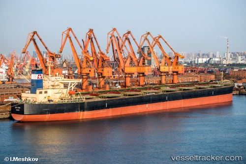
 BIG FISH
Current Status
Where is the vessel?
BIG FISH is currently in 188 nm NW of Alofi, based on AIS data received about 66d ago.
Latest AIS update:
Current position: 17.36343° S, 172.69481° W (188 nm NW of Alofi)
Average speed (last 7 days): Loading…
Average speed (last 30 days): Loading…
Vessel profile: BIG FISH is a Bulk Carrier with dimensions 289m x 45m.
This page combines live AIS, route history, probable destination signals, nearby traffic, and port activity for practical vessel monitoring.
The current position of vessel BIG FISH is -17.36343 lat / -172.69481 lng. Updated: 2026-02-22 01:44:01 UTCCurrently sailing under the flag of Liberia ![]()
BIG FISH built in 2004 year
Deadweight:
177662 tDetails:
Live Vessel BIG FISH Analytics (details, animations, etc.)
Recent AIS points (UTC):
2026-02-22 01:44:01 UTC · -17.36343, -172.69481 · SOG 6.3 kn · COG 186°