 vesseltracker.com
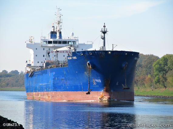
 MOUNT KIBO
Current Status
Where is the vessel?
MOUNT KIBO is currently in 83 nm N of Green Turtle Cay, based on AIS data received about 2h ago.
Latest AIS update:
Current position: 28.10833° N, 77.01333° W (83 nm N of Green Turtle Cay)
Average speed (last 7 days): Loading…
Average speed (last 30 days): Loading…
Vessel profile: MOUNT KIBO is a Chemical/Oil Products Tanker with dimensions 185m x 28m.
This page combines live AIS, route history, probable destination signals, nearby traffic, and port activity for practical vessel monitoring.
The current position of vessel MOUNT KIBO is 28.10833 lat / -77.01333 lng. Updated: 2026-04-19 05:53:03 UTCNearest reference points:
- 75 nm N of Green Turtle Cay
- 113 nm NE of Green Turtle Cay
- Near Green Turtle Cay
Currently sailing under the flag of Liberia ![]()
MOUNT KIBO built in 2010 year
Deadweight:
37843 tDetails:
Live Vessel MOUNT KIBO Analytics (details, animations, etc.)
Recent AIS points (UTC):
2026-04-18 23:38:02 UTC · 28.65833, -75.64833 · SOG 12 kn · COG -1°2026-04-19 02:25:51 UTC · 28.37678, -76.25458 · SOG 12.7 kn · COG 243°
2026-04-19 03:20:05 UTC · 28.28500, -76.44333 · SOG 12 kn · COG -1°
2026-04-19 05:53:03 UTC · 28.10833, -77.01333 · SOG 12 kn · COG -1°