 vesseltracker.com
 KOTA SANTOS
Current Status
Where is the vessel?
KOTA SANTOS is currently in 326 nm SW of Bajo Grande, based on AIS data received less than 1h ago.
Latest AIS update:
Current position: 8.08725° N, 176.53455° W (326 nm SW of Bajo Grande)
Average speed (last 7 days): Loading…
Average speed (last 30 days): Loading…
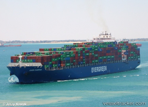
Vessel profile: KOTA SANTOS is a Container Ship with dimensions 42m x 334m.
This page combines live AIS, route history, probable destination signals, nearby traffic, and port activity for practical vessel monitoring.
The current position of vessel KOTA SANTOS is 8.08725 lat / -176.53455 lng. Updated: 2026-05-16 10:26:53 UTCNearest reference points:
- Open sea, approx. 401 nm off the nearest listed port
- Open sea, approx. 411 nm off the nearest listed port
- Open sea, approx. 417 nm off the nearest listed port
Currently sailing under the flag of Liberia ![]()
KOTA SANTOS built in 2005 year
Deadweight:
106912 tDetails:
Live Vessel KOTA SANTOS Analytics (details, animations, etc.)
Recent AIS points (UTC):
2026-05-16 07:22:43 UTC · 7.70657, -175.59782 · SOG 19.3 kn · COG 289°2026-05-16 07:23:35 UTC · 7.70667, -175.60167 · SOG 19 kn · COG -1°
2026-05-16 10:10:41 UTC · 8.05372, -176.45120 · SOG 19.9 kn · COG 291°
2026-05-16 10:26:53 UTC · 8.08725, -176.53455 · SOG 19.5 kn · COG 291°