 vesseltracker.com
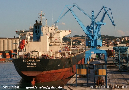
 IVESTOS 7
Current Status
Where is the vessel?
IVESTOS 7 is currently in Near Dalian, based on AIS data received about 1h ago.
Latest AIS update:
Current position: 39.01471° N, 121.69077° E (Near Dalian)
Average speed (last 7 days): Loading…
Average speed (last 30 days): Loading…
Vessel profile: IVESTOS 7 is a Bulk Carrier with dimensions 32m x 225m.
This page combines live AIS, route history, probable destination signals, nearby traffic, and port activity for practical vessel monitoring.
The current position of vessel IVESTOS 7 is 39.01471 lat / 121.69077 lng. Updated: 2026-05-15 16:54:50 UTCNearest reference points:
- Near Dalian
- 15 nm E of Dalian
- 15 nm SE of Dalian
Currently sailing under the flag of Liberia ![]()
IVESTOS 7 built in 2008 year
Deadweight:
75093 tDetails:
Live Vessel IVESTOS 7 Analytics (details, animations, etc.)
Recent AIS points (UTC):
2026-05-15 14:03:50 UTC · 39.01469, 121.69075 · SOG 0 kn · COG -1°2026-05-15 15:45:49 UTC · 39.01474, 121.69066 · SOG 0 kn · COG -1°
2026-05-15 16:54:50 UTC · 39.01471, 121.69077 · SOG 0 kn · COG -1°
2026-05-15 16:54:50 UTC · 39.01471, 121.69077 · SOG 0 kn · COG -1°