 vesseltracker.com
 SEABOARD EXPLORER
Current Status
Where is the vessel?
SEABOARD EXPLORER is currently in 96 nm S of Barahona, based on AIS data received less than 1h ago.
Latest AIS update:
Current position: 16.61667° N, 70.97833° W (96 nm S of Barahona)
Average speed (last 7 days): Loading…
Average speed (last 30 days): Loading…
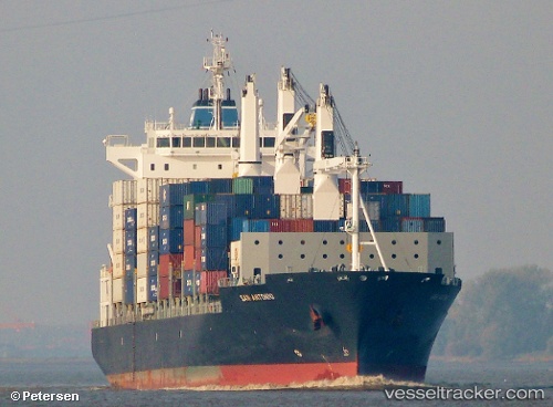
Vessel profile: SEABOARD EXPLORER is a Container Ship with dimensions 27m x 186m.
This page combines live AIS, route history, probable destination signals, nearby traffic, and port activity for practical vessel monitoring.
The current position of vessel SEABOARD EXPLORER is 16.61667 lat / -70.97833 lng. Updated: 2026-04-23 19:29:47 UTCNearest reference points:
- Near Bahia De Las Calderas
- Near CASA DE CAMPO
Currently sailing under the flag of Liberia ![]()
SEABOARD EXPLORER built in 2008 year
Deadweight:
28196 tDetails:
Live Vessel SEABOARD EXPLORER Analytics (details, animations, etc.)
Recent AIS points (UTC):
2026-04-23 16:54:22 UTC · 15.94227, -71.40742 · SOG 18.3 kn · COG 34°2026-04-23 18:26:49 UTC · 16.34166, -71.14667 · SOG 18 kn · COG -1°
2026-04-23 19:29:47 UTC · 16.61667, -70.97833 · SOG 18 kn · COG -1°
2026-04-23 19:29:47 UTC · 16.61667, -70.97833 · SOG 18 kn · COG -1°