 vesseltracker.com
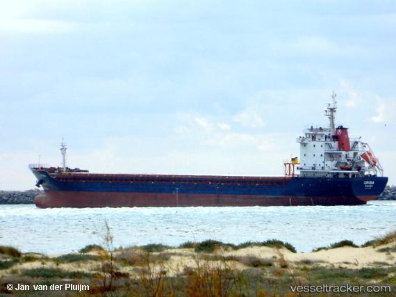
 ORUBA
ORUBA
Current Status
Where is the vessel?
ORUBA is currently in 45 nm W of Canas de Santa Maria, based on AIS data received less than 1h ago.
Latest AIS update:
Current position: 40.67551° N, 9.80766° W (45 nm W of Canas de Santa Maria)
Average speed (last 7 days): Loading…
Average speed (last 30 days): Loading…
Vessel profile: ORUBA is a General Cargo Ship with dimensions 132m x 19m.
This page combines live AIS, route history, probable destination signals, nearby traffic, and port activity for practical vessel monitoring.
The current position of vessel ORUBA is 40.67551 lat / -9.80766 lng. Updated: 2026-04-05 05:37:00 UTCNearest reference points:
- 52 nm W of Canas de Santa Maria
- 11 nm S of Sarinena
- Near Figuera Da Foz
Currently sailing under the flag of Liberia ![]()
ORUBA built in 2007 year
Deadweight:
10611 tDetails:
Live Vessel ORUBA Analytics (details, animations, etc.)
Recent AIS points (UTC):
2026-04-04 23:39:21 UTC · 39.75655, -9.83043 · SOG 9.5 kn · COG 2°2026-04-05 02:29:30 UTC · 40.18523, -9.81424 · SOG 9.2 kn · COG 0°
2026-04-05 03:27:41 UTC · 40.33302, -9.81965 · SOG 9.6 kn · COG 2°
2026-04-05 05:37:00 UTC · 40.67551, -9.80766 · SOG 9.5 kn · COG 2°