 vesseltracker.com
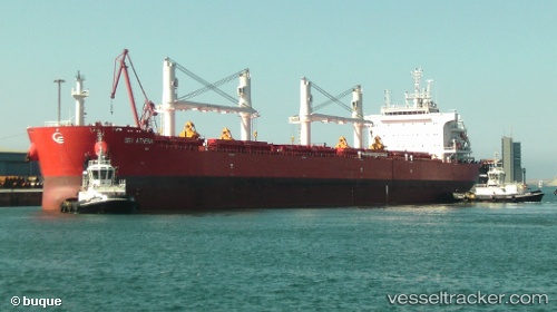
 BBG KINDNESS
Current Status
Where is the vessel?
BBG KINDNESS is currently in Near Haldia, based on AIS data received less than 1h ago.
Latest AIS update:
Current position: 22.03360° N, 88.08559° E (Near Haldia)
Average speed (last 7 days): Loading…
Average speed (last 30 days): Loading…
Vessel profile: BBG KINDNESS is a Bulk Carrier with dimensions 32m x 200m.
This page combines live AIS, route history, probable destination signals, nearby traffic, and port activity for practical vessel monitoring.
The current position of vessel BBG KINDNESS is 22.03360 lat / 88.08559 lng. Updated: 2026-04-30 21:24:13 UTCNearest reference points:
- Near Haldia
- 16 nm SE of Contai
- Near Calcutta
Currently sailing under the flag of Liberia ![]()
BBG KINDNESS built in 2015 year
Deadweight:
63235 tDetails:
Live Vessel BBG KINDNESS Analytics (details, animations, etc.)
Recent AIS points (UTC):
2026-04-30 17:30:13 UTC · 22.03358, 88.08563 · SOG 0 kn · COG 17°2026-04-30 19:21:13 UTC · 22.03363, 88.08563 · SOG 0 kn · COG 17°
2026-04-30 19:42:13 UTC · 22.03361, 88.08562 · SOG 0 kn · COG 17°
2026-04-30 21:24:13 UTC · 22.03360, 88.08559 · SOG 0.1 kn · COG 17°