 vesseltracker.com
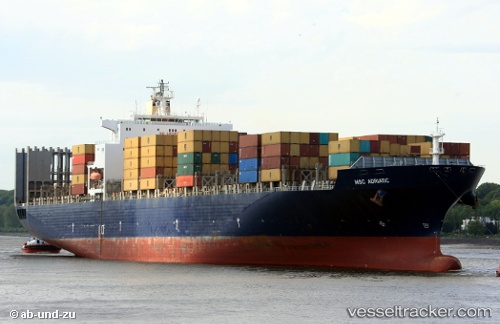
 GSL MELITA
Current Status
Where is the vessel?
GSL MELITA is currently in 135 nm NW of Kumejima, based on AIS data received about 1h ago.
Latest AIS update:
Current position: 28.36167° N, 125.54833° E (135 nm NW of Kumejima)
Average speed (last 7 days): Loading…
Average speed (last 30 days): Loading…
Vessel profile: GSL MELITA is a Container Ship with dimensions 277m x 40m.
This page combines live AIS, route history, probable destination signals, nearby traffic, and port activity for practical vessel monitoring.
The current position of vessel GSL MELITA is 28.36167 lat / 125.54833 lng. Updated: 2026-04-29 13:34:27 UTCNearest reference points:
- 165 nm SE of Lü-hua Shan
- 129 nm SE of ZHOUSHAN
- 102 nm E of Wenling Longmen Port
Currently sailing under the flag of Liberia ![]()
GSL MELITA built in 2001 year
Deadweight:
67591 tDetails:
Live Vessel GSL MELITA Analytics (details, animations, etc.)
Recent AIS points (UTC):
2026-04-29 10:10:25 UTC · 27.66333, 125.59833 · SOG 13 kn · COG -1°2026-04-29 11:55:25 UTC · 28.03167, 125.47167 · SOG 13 kn · COG -1°
2026-04-29 12:58:24 UTC · 28.24667, 125.52333 · SOG 11 kn · COG -1°
2026-04-29 13:34:27 UTC · 28.36167, 125.54833 · SOG 11 kn · COG -1°