 vesseltracker.com
 MARIA 1921
Current Status
Where is the vessel?
MARIA 1921 is currently in 369 nm N of Parelhas, based on AIS data received less than 1h ago.
Latest AIS update:
Current position: 12.64340° N, 35.10958° W (369 nm N of Parelhas)
Average speed (last 7 days): Loading…
Average speed (last 30 days): Loading…
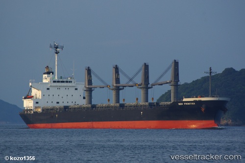
Vessel profile: MARIA 1921 is a Bulk Carrier with dimensions 28m x 176m.
This page combines live AIS, route history, probable destination signals, nearby traffic, and port activity for practical vessel monitoring.
The current position of vessel MARIA 1921 is 12.64340 lat / -35.10958 lng. Updated: 2026-04-27 13:24:21 UTCNearest reference points:
- Open sea, approx. 402 nm off the nearest listed port
- Open sea, approx. 403 nm off the nearest listed port
- Open sea, approx. 405 nm off the nearest listed port
Currently sailing under the flag of Liberia ![]()
MARIA 1921 built in 2011 year
Deadweight:
35013 tDetails:
Live Vessel MARIA 1921 Analytics (details, animations, etc.)
Recent AIS points (UTC):
2026-04-27 09:30:12 UTC · 13.10440, -34.52553 · SOG 11.1 kn · COG 230°2026-04-27 10:38:22 UTC · 12.96934, -34.69558 · SOG 12.2 kn · COG 226°
2026-04-27 11:48:02 UTC · 12.83212, -34.87005 · SOG 11 kn · COG 230°
2026-04-27 13:24:21 UTC · 12.64340, -35.10958 · SOG 11.4 kn · COG 230°