 vesseltracker.com
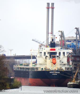
 DENNISAN
Current Status
Where is the vessel?
DENNISAN is currently in Near Singapore, based on AIS data received about 10d ago.
Latest AIS update:
Current position: 1.22991° N, 103.82067° E (Near Singapore)
Average speed (last 7 days): Loading…
Average speed (last 30 days): Loading…
Vessel profile: DENNISAN is a Bulk Carrier with dimensions 221m x 221m.
This page combines live AIS, route history, probable destination signals, nearby traffic, and port activity for practical vessel monitoring.
The current position of vessel DENNISAN is 1.22991 lat / 103.82067 lng. Updated: 2026-04-20 18:55:37 UTCNearest reference points:
- Near Singapore
- Near Bukit Merah Estate
- Near BUKOM ISLAND
Currently sailing under the flag of Liberia ![]()
DENNISAN built in 2012 year
Deadweight:
78095 tDetails:
Live Vessel DENNISAN Analytics (details, animations, etc.)
Recent AIS points (UTC):
2026-04-20 18:55:37 UTC · 1.22991, 103.82067 · SOG 0 kn · COG -1°2026-04-20 18:55:37 UTC · 1.22991, 103.82067 · SOG 0 kn · COG -1°
2026-04-20 18:55:37 UTC · 1.22991, 103.82067 · SOG 0 kn · COG -1°
2026-04-20 18:55:37 UTC · 1.22991, 103.82067 · SOG 0 kn · COG -1°
2026-04-20 18:55:37 UTC · 1.22991, 103.82067 · SOG 0 kn · COG -1°