 vesseltracker.com
 TINA I
Current Status
Where is the vessel?
TINA I is currently in 38 nm NW of Santa Marta, based on AIS data received less than 1h ago.
Latest AIS update:
Current position: 11.79113° N, 74.54127° W (38 nm NW of Santa Marta)
Average speed (last 7 days): Loading…
Average speed (last 30 days): Loading…
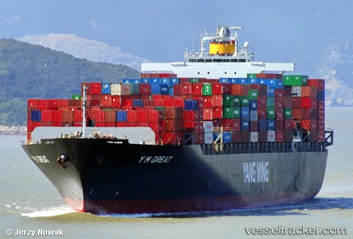
Vessel profile: TINA I is a Container Ship with dimensions 279m x 40m.
This page combines live AIS, route history, probable destination signals, nearby traffic, and port activity for practical vessel monitoring.
The current position of vessel TINA I is 11.79113 lat / -74.54127 lng. Updated: 2026-04-26 12:24:39 UTCNearest reference points:
- 18 nm N of Santa Marta
- Near Santa Marta
- Near Sociedad Portuaria Regional Cartagena
Currently sailing under the flag of Liberia ![]()
TINA I built in 2004 year
Deadweight:
67270 tDetails:
Live Vessel TINA I Analytics (details, animations, etc.)
Recent AIS points (UTC):
2026-04-26 07:25:38 UTC · 10.96462, -75.60558 · SOG 16.4 kn · COG 34°2026-04-26 09:58:50 UTC · 11.53017, -75.17018 · SOG 16.5 kn · COG 37°
2026-04-26 10:26:44 UTC · 11.60580, -75.06855 · SOG 16.9 kn · COG 72°
2026-04-26 12:24:39 UTC · 11.79113, -74.54127 · SOG 17.1 kn · COG 69°