 vesseltracker.com
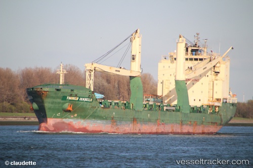
 JOHNELLE
Current Status
Where is the vessel?
JOHNELLE is currently in Near Yongdang-Dong, based on AIS data received less than 1h ago.
Latest AIS update:
Current position: 35.11973° N, 129.07071° E (Near Yongdang-Dong)
Average speed (last 7 days): Loading…
Average speed (last 30 days): Loading…
Vessel profile: JOHNELLE is a General Cargo Ship with dimensions 23m x 148m.
This page combines live AIS, route history, probable destination signals, nearby traffic, and port activity for practical vessel monitoring.
The current position of vessel JOHNELLE is 35.11973 lat / 129.07071 lng. Updated: 2026-05-15 09:53:19 UTCNearest reference points:
- Near Busan
- Near Gamcheon/Busan
- Near Gijang-gun/Busan
Currently sailing under the flag of Liberia ![]()
JOHNELLE built in 2011 year
Deadweight:
19638 tDetails:
Live Vessel JOHNELLE Analytics (details, animations, etc.)
Recent AIS points (UTC):
2026-05-15 05:47:21 UTC · 35.11974, 129.07072 · SOG 0 kn · COG 217°2026-05-15 07:05:21 UTC · 35.11972, 129.07069 · SOG 0 kn · COG 217°
2026-05-15 07:47:20 UTC · 35.11973, 129.07071 · SOG 0 kn · COG 217°
2026-05-15 09:53:19 UTC · 35.11973, 129.07071 · SOG 0 kn · COG 217°