 vesseltracker.com
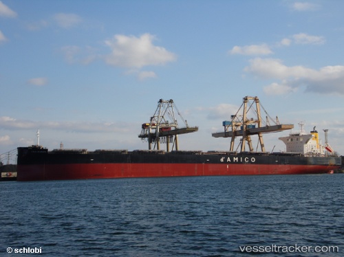
 CIELO D EUROPA
Current Status
Where is the vessel?
CIELO D EUROPA is currently in 44 nm NE of FRASER ISLAND, based on AIS data received less than 1h ago.
Latest AIS update:
Current position: 25.08167° S, 153.75333° E (44 nm NE of FRASER ISLAND)
Average speed (last 7 days): Loading…
Average speed (last 30 days): Loading…
Vessel profile: CIELO D EUROPA is a Bulk Carrier with dimensions 245m x 44m.
This page combines live AIS, route history, probable destination signals, nearby traffic, and port activity for practical vessel monitoring.
The current position of vessel CIELO D EUROPA is -25.08167 lat / 153.75333 lng. Updated: 2026-04-28 21:27:26 UTCNearest reference points:
- Near HERVEY BAY
- Near Tin Can Bay
- Near Bundaberg
Currently sailing under the flag of Liberia ![]()
CIELO D EUROPA built in 2016 year
Deadweight:
117378 tDetails:
Live Vessel CIELO D EUROPA Analytics (details, animations, etc.)
Recent AIS points (UTC):
2026-04-28 16:08:41 UTC · -25.84406, 153.51604 · SOG 9.7 kn · COG 17°2026-04-28 18:11:16 UTC · -25.54015, 153.61028 · SOG 9 kn · COG 19°
2026-04-28 19:31:04 UTC · -25.34850, 153.67015 · SOG 8.8 kn · COG 18°
2026-04-28 21:27:26 UTC · -25.08167, 153.75333 · SOG 8 kn · COG -1°