 vesseltracker.com
 LEYA
LEYA
Current Status
Where is the vessel?
LEYA is currently in Near BGN/PCGN1956 - HAMAD, based on AIS data received less than 1h ago.
Latest AIS update:
Current position: 24.96751° N, 51.60187° E (Near BGN/PCGN1956 - HAMAD)
Average speed (last 7 days): Loading…
Average speed (last 30 days): Loading…
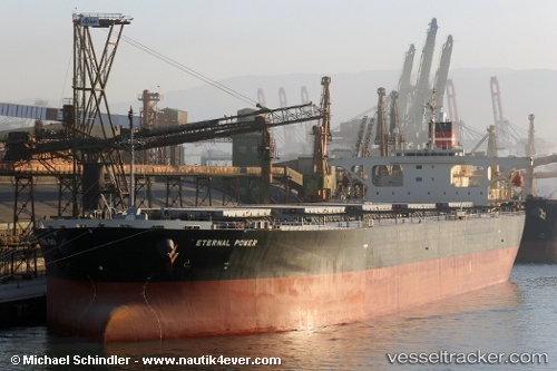
Vessel profile: LEYA is a Bulk Carrier with dimensions 44m x 235m.
This page combines live AIS, route history, probable destination signals, nearby traffic, and port activity for practical vessel monitoring.
The current position of vessel LEYA is 24.96751 lat / 51.60187 lng. Updated: 2026-04-20 13:45:29 UTCNearest reference points:
- Near RAS LAFFAN
- Near JABAL AZ ZANNAH
- Near Yas Island
Currently sailing under the flag of Liberia ![]()
LEYA built in 2004 year
Deadweight:
97045 tDetails:
Live Vessel LEYA Analytics (details, animations, etc.)
Recent AIS points (UTC):
2026-04-20 10:38:20 UTC · 24.96751, 51.60181 · SOG 0 kn · COG -1°2026-04-20 11:51:27 UTC · 24.96756, 51.60189 · SOG 0 kn · COG 211°
2026-04-20 13:03:28 UTC · 24.96752, 51.60189 · SOG 0 kn · COG 212°
2026-04-20 13:45:29 UTC · 24.96751, 51.60187 · SOG 0 kn · COG 212°