 vesseltracker.com
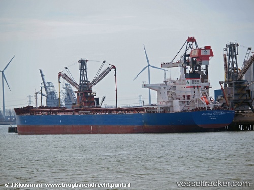
 MARINE BRIGHT
Current Status
Where is the vessel?
MARINE BRIGHT is currently in 64 nm SE of Morowali, based on AIS data received less than 1h ago.
Latest AIS update:
Current position: 2.67528° S, 122.20391° E (64 nm SE of Morowali)
Average speed (last 7 days): Loading…
Average speed (last 30 days): Loading…
Vessel profile: MARINE BRIGHT is a Bulk Carrier with dimensions 250m x 43m.
This page combines live AIS, route history, probable destination signals, nearby traffic, and port activity for practical vessel monitoring.
The current position of vessel MARINE BRIGHT is -2.67528 lat / 122.20391 lng. Updated: 2026-04-25 00:14:37 UTCNearest reference points:
- 45 nm N of KENDARI
- 11 nm NW of KENDARI
- 22 nm S of Tangkiang
Currently sailing under the flag of Liberia ![]()
MARINE BRIGHT built in 2012 year
Deadweight:
114013 tDetails:
Live Vessel MARINE BRIGHT Analytics (details, animations, etc.)
Recent AIS points (UTC):
2026-04-24 19:07:57 UTC · -2.68123, 122.17029 · SOG 0.1 kn · COG 258°2026-04-24 22:17:27 UTC · -2.67426, 122.18828 · SOG 0.5 kn · COG 275°
2026-04-24 22:28:06 UTC · -2.67442, 122.18929 · SOG 0.2 kn · COG 272°
2026-04-25 00:14:37 UTC · -2.67528, 122.20391 · SOG 0.6 kn · COG 313°