 vesseltracker.com
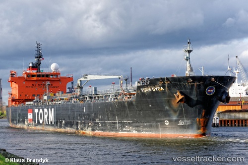
 ALKEA
ALKEA
Current Status
Where is the vessel?
ALKEA is currently in Near Tarragona, based on AIS data received less than 1h ago.
Latest AIS update:
Current position: 41.07765° N, 1.28295° E (Near Tarragona)
Average speed (last 7 days): Loading…
Average speed (last 30 days): Loading…
Vessel profile: ALKEA is a Chemical/Oil Products Tanker with dimensions 184m x 184m.
This page combines live AIS, route history, probable destination signals, nearby traffic, and port activity for practical vessel monitoring.
The current position of vessel ALKEA is 41.07765 lat / 1.28295 lng. Updated: 2026-04-28 06:07:09 UTCNearest reference points:
- Near Tarragona
- Near Salou
- Near RODA DE BARA
Currently sailing under the flag of Liberia ![]()
ALKEA built in 2009 year
Deadweight:
36207 tDetails:
Live Vessel ALKEA Analytics (details, animations, etc.)
Recent AIS points (UTC):
2026-04-28 02:31:05 UTC · 41.07657, 1.28341 · SOG 0 kn · COG 284°2026-04-28 03:58:02 UTC · 41.07688, 1.28341 · SOG 0 kn · COG 264°
2026-04-28 04:49:05 UTC · 41.07720, 1.28330 · SOG 0 kn · COG 257°
2026-04-28 06:07:09 UTC · 41.07765, 1.28295 · SOG 0 kn · COG 235°