 vesseltracker.com
 DEMA M
Current Status
Where is the vessel?
DEMA M is currently in Near Caloocan City, based on AIS data received about 23h ago.
Latest AIS update:
Current position: 14.63448° N, 120.94497° E (Near Caloocan City)
Average speed (last 7 days): Loading…
Average speed (last 30 days): Loading…
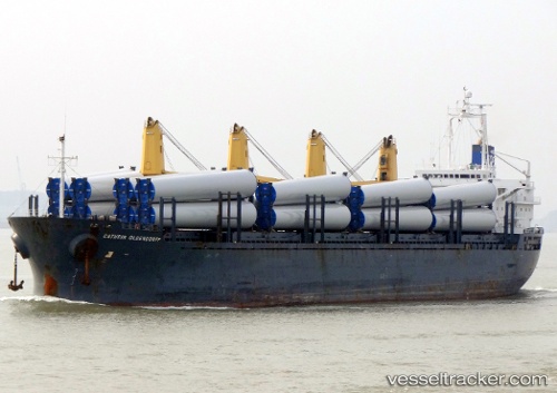
Vessel profile: DEMA M is a General Cargo Ship with dimensions 178m x 27m.
This page combines live AIS, route history, probable destination signals, nearby traffic, and port activity for practical vessel monitoring.
The current position of vessel DEMA M is 14.63448 lat / 120.94497 lng. Updated: 2026-04-10 08:28:10 UTCNearest reference points:
- Near Caloocan City
- Near Malabon
- Near Tondo
Currently sailing under the flag of Liberia ![]()
DEMA M built in 2003 year
Deadweight:
32259 tDetails:
Live Vessel DEMA M Analytics (details, animations, etc.)
Recent AIS points (UTC):
2026-04-10 01:49:09 UTC · 14.63449, 120.94496 · SOG 0 kn · COG 269°2026-04-10 03:55:11 UTC · 14.63446, 120.94501 · SOG 0 kn · COG 269°
2026-04-10 05:41:12 UTC · 14.63445, 120.94503 · SOG 0 kn · COG 269°
2026-04-10 08:28:10 UTC · 14.63448, 120.94497 · SOG 0 kn · COG 269°