 vesseltracker.com
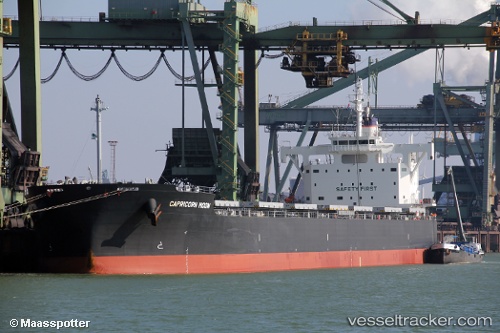
 BADGER
Current Status
Where is the vessel?
BADGER is currently in 253 nm S of Muara Siberut, based on AIS data received about 1h ago.
Latest AIS update:
Current position: 5.77500° S, 98.71333° E (253 nm S of Muara Siberut)
Average speed (last 7 days): Loading…
Average speed (last 30 days): Loading…
Vessel profile: BADGER is a Bulk Carrier with dimensions 229m x 32m.
This page combines live AIS, route history, probable destination signals, nearby traffic, and port activity for practical vessel monitoring.
The current position of vessel BADGER is -5.77500 lat / 98.71333 lng. Updated: 2026-04-12 13:46:09 UTCNearest reference points:
- 293 nm SW of Lahat
- 311 nm N of Cocos Islands
Currently sailing under the flag of Liberia ![]()
BADGER built in 2015 year
Deadweight:
81828 tDetails:
Live Vessel BADGER Analytics (details, animations, etc.)
Recent AIS points (UTC):
2026-04-12 07:43:07 UTC · -5.91667, 99.75833 · SOG 10 kn · COG -1°2026-04-12 09:49:10 UTC · -5.87667, 99.39167 · SOG 10 kn · COG -1°
2026-04-12 11:43:05 UTC · -5.83833, 99.06167 · SOG 10 kn · COG -1°
2026-04-12 13:46:09 UTC · -5.77500, 98.71333 · SOG 10 kn · COG -1°