 vesseltracker.com
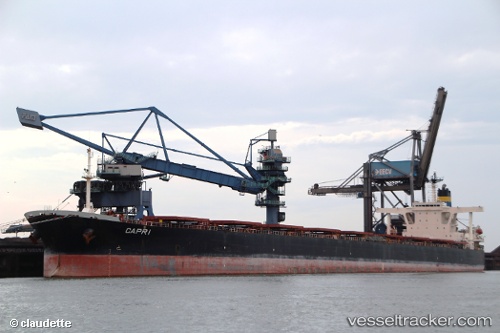
 CAPE MAYA
Current Status
Where is the vessel?
CAPE MAYA is currently in 25 nm E of HURGHADA, based on AIS data received about 2h ago.
Latest AIS update:
Current position: 27.25275° N, 34.30850° E (25 nm E of HURGHADA)
Average speed (last 7 days): Loading…
Average speed (last 30 days): Loading…
Vessel profile: CAPE MAYA is a Bulk Carrier with dimensions m x m.
This page combines live AIS, route history, probable destination signals, nearby traffic, and port activity for practical vessel monitoring.
The current position of vessel CAPE MAYA is 27.25275 lat / 34.30850 lng. Updated: 2026-04-25 05:07:17 UTCNearest reference points:
- 19 nm SE of Zeit Bay
- Near El-Guna (El Gouna)
- Near Bur Safaga
Currently sailing under the flag of Liberia ![]()
Details:
Live Vessel CAPE MAYA Analytics (details, animations, etc.)
Recent AIS points (UTC):
2026-04-25 01:49:55 UTC · 27.75670, 33.78885 · SOG 11.6 kn · COG 136°2026-04-25 03:44:54 UTC · 27.47658, 34.09437 · SOG 12.4 kn · COG 137°
2026-04-25 05:07:17 UTC · 27.25275, 34.30850 · SOG 13.2 kn · COG 138°
2026-04-25 05:07:17 UTC · 27.25275, 34.30850 · SOG 13.2 kn · COG 138°