 vesseltracker.com
 PASCHALIS DD
Current Status
Where is the vessel?
PASCHALIS DD is currently in Near Myskhako, based on AIS data received less than 1h ago.
Latest AIS update:
Current position: 44.62686° N, 37.80188° E (Near Myskhako)
Average speed (last 7 days): Loading…
Average speed (last 30 days): Loading…
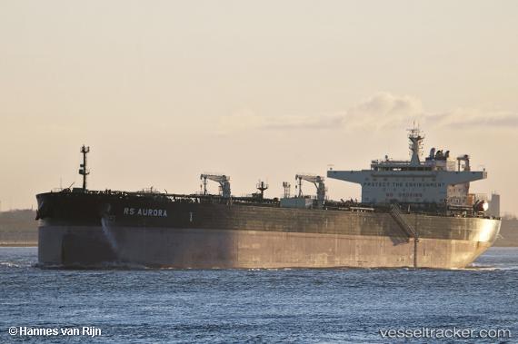
Vessel profile: PASCHALIS DD is a Crude Oil Tanker with dimensions 48m x 274m.
This page combines live AIS, route history, probable destination signals, nearby traffic, and port activity for practical vessel monitoring.
The current position of vessel PASCHALIS DD is 44.62686 lat / 37.80188 lng. Updated: 2026-05-16 11:33:34 UTCNearest reference points:
- Near Novorossiysk
- Near GELENDZHIK
- Near Cpc Terminal
Currently sailing under the flag of Liberia ![]()
PASCHALIS DD built in 0 year
Deadweight:
0 tDetails:
Live Vessel PASCHALIS DD Analytics (details, animations, etc.)
Recent AIS points (UTC):
2026-05-16 07:29:39 UTC · 44.61731, 37.96160 · SOG 12.8 kn · COG 17°2026-05-16 09:21:16 UTC · 44.53988, 37.90782 · SOG 13 kn · COG 167°
2026-05-16 10:39:32 UTC · 44.62539, 37.88001 · SOG 10.8 kn · COG 191°
2026-05-16 11:33:34 UTC · 44.62686, 37.80188 · SOG 7.9 kn · COG 225°