 vesseltracker.com
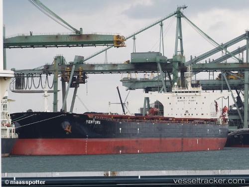
 VENTURA I
Current Status
Where is the vessel?
VENTURA I is currently in 95 nm NW of Bangui, based on AIS data received about 2h ago.
Latest AIS update:
Current position: 19.74000° N, 119.65667° E (95 nm NW of Bangui)
Average speed (last 7 days): Loading…
Average speed (last 30 days): Loading…
Vessel profile: VENTURA I is a Bulk Carrier with dimensions m x m.
This page combines live AIS, route history, probable destination signals, nearby traffic, and port activity for practical vessel monitoring.
The current position of vessel VENTURA I is 19.74000 lat / 119.65667 lng. Updated: 2026-04-30 04:17:16 UTCNearest reference points:
- 132 nm SW of Kaohsiung
- 106 nm W of Basco
- 101 nm S of Kaohsiung
Currently sailing under the flag of Liberia ![]()
Details:
Live Vessel VENTURA I Analytics (details, animations, etc.)
Recent AIS points (UTC):
2026-04-30 02:02:16 UTC · 19.46333, 119.39167 · SOG 10 kn · COG -1°2026-04-30 02:02:16 UTC · 19.46333, 119.39167 · SOG 10 kn · COG -1°
2026-04-30 03:53:17 UTC · 19.68833, 119.60667 · SOG 10 kn · COG -1°
2026-04-30 04:17:16 UTC · 19.74000, 119.65667 · SOG 10 kn · COG -1°