 vesseltracker.com
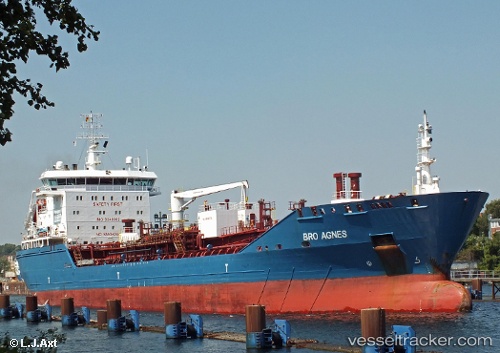
 BG AGNES
Current Status
Where is the vessel?
BG AGNES is currently in Near Plymouth, based on AIS data received less than 1h ago.
Latest AIS update:
Current position: 50.30791° N, 4.15571° W (Near Plymouth)
Average speed (last 7 days): Loading…
Average speed (last 30 days): Loading…
Vessel profile: BG AGNES is a Oil/Chemical Tanker with dimensions m x m.
This page combines live AIS, route history, probable destination signals, nearby traffic, and port activity for practical vessel monitoring.
The current position of vessel BG AGNES is 50.30791 lat / -4.15571 lng. Updated: 2026-04-24 19:52:51 UTCNearest reference points:
- Near Plymouth
- Near Devonport
- Near TORPOINT
Currently sailing under the flag of Liberia ![]()
Details:
Live Vessel BG AGNES Analytics (details, animations, etc.)
Recent AIS points (UTC):
2026-04-24 15:44:50 UTC · 50.30762, -4.15597 · SOG 0.1 kn · COG 102°2026-04-24 18:20:42 UTC · 50.30773, -4.15590 · SOG 0.2 kn · COG 105°
2026-04-24 19:34:06 UTC · 50.30791, -4.15567 · SOG 0.2 kn · COG 108°
2026-04-24 19:52:51 UTC · 50.30791, -4.15571 · SOG 0 kn · COG 109°