 vesseltracker.com
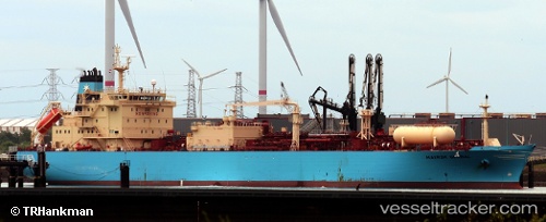
 NAVIGATOR GLOBAL
Current Status
Where is the vessel?
NAVIGATOR GLOBAL is currently in 31 nm S of Yallahs, based on AIS data received about 1h ago.
Latest AIS update:
Current position: 17.35200° N, 76.46066° W (31 nm S of Yallahs)
Average speed (last 7 days): Loading…
Average speed (last 30 days): Loading…
Vessel profile: NAVIGATOR GLOBAL is a Lpg Tanker with dimensions m x m.
This page combines live AIS, route history, probable destination signals, nearby traffic, and port activity for practical vessel monitoring.
The current position of vessel NAVIGATOR GLOBAL is 17.35200 lat / -76.46066 lng. Updated: 2026-04-27 14:12:22 UTCCurrently sailing under the flag of Liberia ![]()
Details:
Live Vessel NAVIGATOR GLOBAL Analytics (details, animations, etc.)
Recent AIS points (UTC):
2026-04-27 09:54:40 UTC · 16.57991, -77.11018 · SOG 13.9 kn · COG 42°2026-04-27 10:44:52 UTC · 16.73008, -76.98519 · SOG 13.7 kn · COG 42°
2026-04-27 11:35:43 UTC · 16.88201, -76.85829 · SOG 13.7 kn · COG 42°
2026-04-27 14:12:22 UTC · 17.35200, -76.46066 · SOG 13.9 kn · COG 38°