 vesseltracker.com
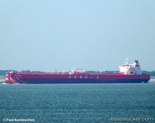
 ELANDRA FIRTH
Current Status
Where is the vessel?
ELANDRA FIRTH is currently in Near Werribee South, based on AIS data received less than 1h ago.
Latest AIS update:
Current position: 38.04333° S, 144.80167° E (Near Werribee South)
Average speed (last 7 days): Loading…
Average speed (last 30 days): Loading…
Vessel profile: ELANDRA FIRTH is a Tanker with dimensions m x m.
This page combines live AIS, route history, probable destination signals, nearby traffic, and port activity for practical vessel monitoring.
The current position of vessel ELANDRA FIRTH is -38.04333 lat / 144.80167 lng. Updated: 2026-05-16 02:10:31 UTCNearest reference points:
- Near Drysdale
- Near Spotswood
- Near QUEENSCLIFF
Currently sailing under the flag of Liberia ![]()
Details:
Live Vessel ELANDRA FIRTH Analytics (details, animations, etc.)
Recent AIS points (UTC):
2026-05-15 22:58:30 UTC · -38.04333, 144.80333 · SOG 0 kn · COG -1°2026-05-15 23:22:11 UTC · -38.04447, 144.80299 · SOG 0 kn · COG 10°
2026-05-16 01:43:11 UTC · -38.04454, 144.80321 · SOG 0 kn · COG 7°
2026-05-16 02:10:31 UTC · -38.04333, 144.80167 · SOG 0 kn · COG -1°