 vesseltracker.com
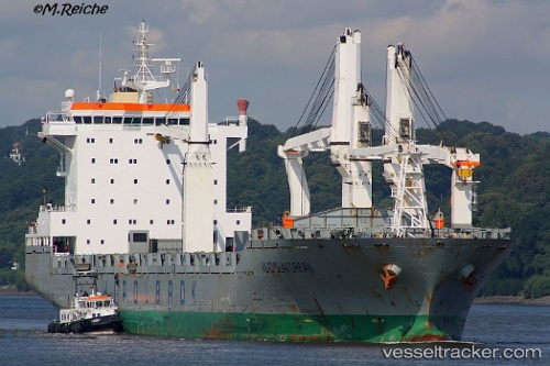
 WLADYSLAW ORKAN
Current Status
Where is the vessel?
WLADYSLAW ORKAN is currently in 23 nm N of Umm al Quwain, based on AIS data received less than 1h ago.
Latest AIS update:
Current position: 25.94928° N, 55.44617° E (23 nm N of Umm al Quwain)
Average speed (last 7 days): Loading…
Average speed (last 30 days): Loading…
Vessel profile: WLADYSLAW ORKAN is a General Cargo with dimensions m x m.
This page combines live AIS, route history, probable destination signals, nearby traffic, and port activity for practical vessel monitoring.
The current position of vessel WLADYSLAW ORKAN is 25.94928 lat / 55.44617 lng. Updated: 2026-04-24 10:21:16 UTCNearest reference points:
- 13 nm NW of Hulaylah Terminal
- Near Hulaylah Terminal
- 20 nm NW of Hulaylah Terminal
Currently sailing under the flag of Liberia ![]()
Details:
Live Vessel WLADYSLAW ORKAN Analytics (details, animations, etc.)
Recent AIS points (UTC):
2026-04-24 07:48:21 UTC · 25.94794, 55.44671 · SOG 0 kn · COG 275°2026-04-24 07:57:20 UTC · 25.94821, 55.44685 · SOG 0 kn · COG 266°
2026-04-24 09:54:17 UTC · 25.94833, 55.44666 · SOG 0.1 kn · COG 268°
2026-04-24 10:21:16 UTC · 25.94928, 55.44617 · SOG 0.1 kn · COG 229°