 vesseltracker.com
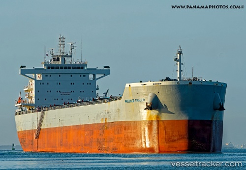
 W LUNA
Current Status
Where is the vessel?
W LUNA is currently in 188 nm S of Kaguyak, based on AIS data received less than 1h ago.
Latest AIS update:
Current position: 53.74894° N, 154.26472° W (188 nm S of Kaguyak)
Average speed (last 7 days): Loading…
Average speed (last 30 days): Loading…
Vessel profile: W LUNA is a Cargo with dimensions m x m.
This page combines live AIS, route history, probable destination signals, nearby traffic, and port activity for practical vessel monitoring.
The current position of vessel W LUNA is 53.74894 lat / -154.26472 lng. Updated: 2026-04-29 06:20:02 UTCCurrently sailing under the flag of Liberia ![]()
Details:
Live Vessel W LUNA Analytics (details, animations, etc.)
Recent AIS points (UTC):
2026-04-29 02:11:31 UTC · 53.62887, -153.34641 · SOG 8.3 kn · COG 279°2026-04-29 03:30:02 UTC · 53.66303, -153.64613 · SOG 8.1 kn · COG 282°
2026-04-29 05:05:49 UTC · 53.71451, -153.99550 · SOG 8.1 kn · COG 281°
2026-04-29 06:20:02 UTC · 53.74894, -154.26472 · SOG 7.6 kn · COG 278°