 vesseltracker.com
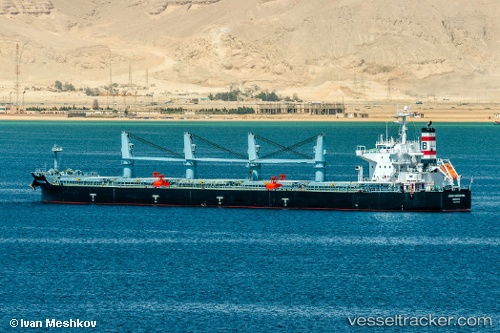
 ANNA DOROTHEA
Current Status
Where is the vessel?
ANNA DOROTHEA is currently in 282 nm N of Port Mathurin, based on AIS data received less than 1h ago.
Latest AIS update:
Current position: 15.03667° S, 64.07500° E (282 nm N of Port Mathurin)
Average speed (last 7 days): Loading…
Average speed (last 30 days): Loading…
Vessel profile: ANNA DOROTHEA is a Bulk Carrier with dimensions m x m.
This page combines live AIS, route history, probable destination signals, nearby traffic, and port activity for practical vessel monitoring.
The current position of vessel ANNA DOROTHEA is -15.03667 lat / 64.07500 lng. Updated: 2026-04-29 00:27:40 UTCNearest reference points:
- 241 nm N of Port Mathurin
- 353 nm NE of Port Mathurin
- Open sea, approx. 401 nm off the nearest listed port
Currently sailing under the flag of Liberia ![]()
Details:
Live Vessel ANNA DOROTHEA Analytics (details, animations, etc.)
Recent AIS points (UTC):
2026-04-28 19:19:31 UTC · -15.61550, 63.31760 · SOG 10.5 kn · COG 58°2026-04-28 22:15:42 UTC · -15.28833, 63.74667 · SOG 10 kn · COG -1°
2026-04-28 22:50:38 UTC · -15.22589, 63.83694 · SOG 10.7 kn · COG 57°
2026-04-29 00:27:40 UTC · -15.03667, 64.07500 · SOG 11 kn · COG -1°