 vesseltracker.com
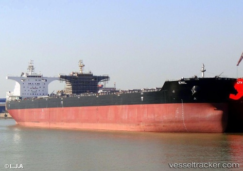
 EMIL
EMIL
Current Status
Where is the vessel?
EMIL is currently in 63 nm W of Al Muajjiz, based on AIS data received less than 1h ago.
Latest AIS update:
Current position: 23.16937° N, 37.28991° E (63 nm W of Al Muajjiz)
Average speed (last 7 days): Loading…
Average speed (last 30 days): Loading…
Vessel profile: EMIL is a Bulk Carrier with dimensions m x m.
This page combines live AIS, route history, probable destination signals, nearby traffic, and port activity for practical vessel monitoring.
The current position of vessel EMIL is 23.16937 lat / 37.28991 lng. Updated: 2026-04-25 16:04:06 UTCNearest reference points:
- 74 nm SW of Yanbu
- 30 nm SW of Yanbu
- 95 nm SW of Al Muajjiz
Currently sailing under the flag of Liberia ![]()
Details:
Live Vessel EMIL Analytics (details, animations, etc.)
Recent AIS points (UTC):
2026-04-25 12:26:26 UTC · 23.70326, 36.91972 · SOG 9.9 kn · COG 153°2026-04-25 13:02:56 UTC · 23.61479, 36.97706 · SOG 10.2 kn · COG 153°
2026-04-25 14:25:26 UTC · 23.41202, 37.11748 · SOG 10.5 kn · COG 149°
2026-04-25 16:04:06 UTC · 23.16937, 37.28991 · SOG 10.5 kn · COG 151°