 vesseltracker.com
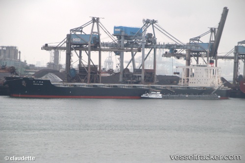
 ICONSHIP
Current Status
Where is the vessel?
ICONSHIP is currently in Near GLADSTONE, based on AIS data received less than 1h ago.
Latest AIS update:
Current position: 23.82325° S, 151.24619° E (Near GLADSTONE)
Average speed (last 7 days): Loading…
Average speed (last 30 days): Loading…
Vessel profile: ICONSHIP is a Bulker with dimensions m x m.
This page combines live AIS, route history, probable destination signals, nearby traffic, and port activity for practical vessel monitoring.
The current position of vessel ICONSHIP is -23.82325 lat / 151.24619 lng. Updated: 2026-05-16 07:28:54 UTCNearest reference points:
- Near Gladstone Harbor
- Near Boyne Island
- Near ROSSLYN
Currently sailing under the flag of Liberia ![]()
Details:
Live Vessel ICONSHIP Analytics (details, animations, etc.)
Recent AIS points (UTC):
2026-05-16 03:46:53 UTC · -23.82328, 151.24619 · SOG 0 kn · COG 138°2026-05-16 04:19:54 UTC · -23.82326, 151.24617 · SOG 0 kn · COG 138°
2026-05-16 06:07:56 UTC · -23.82328, 151.24615 · SOG 0 kn · COG 138°
2026-05-16 07:28:54 UTC · -23.82325, 151.24619 · SOG 0 kn · COG 139°