 vesseltracker.com
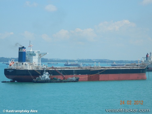
 MILDRED
Current Status
Where is the vessel?
MILDRED is currently in 345 nm SW of Tsiombe, based on AIS data received about 1h ago.
Latest AIS update:
Current position: 28.05832° S, 39.83501° E (345 nm SW of Tsiombe)
Average speed (last 7 days): Loading…
Average speed (last 30 days): Loading…
Vessel profile: MILDRED is a Cargo with dimensions m x m.
This page combines live AIS, route history, probable destination signals, nearby traffic, and port activity for practical vessel monitoring.
The current position of vessel MILDRED is -28.05832 lat / 39.83501 lng. Updated: 2026-04-28 07:36:10 UTCNearest reference points:
- 358 nm E of Richards Bay
- Open sea, approx. 401 nm off the nearest listed port
- Open sea, approx. 403 nm off the nearest listed port
Currently sailing under the flag of Liberia ![]()
Details:
Live Vessel MILDRED Analytics (details, animations, etc.)
Recent AIS points (UTC):
2026-04-28 04:15:11 UTC · -27.90262, 40.58026 · SOG 11.7 kn · COG 263°2026-04-28 06:13:07 UTC · -27.99370, 40.13753 · SOG 11.6 kn · COG 258°
2026-04-28 06:58:51 UTC · -28.02919, 39.97201 · SOG 11.9 kn · COG 255°
2026-04-28 07:36:10 UTC · -28.05832, 39.83501 · SOG 11.9 kn · COG 254°