 vesseltracker.com
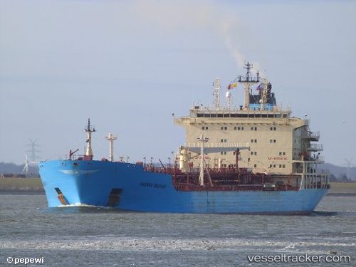
 BELLAGIO
Current Status
Where is the vessel?
BELLAGIO is currently in 24 nm E of Rumaithiya, based on AIS data received about 114d ago.
Latest AIS update:
Current position: 29.31321° N, 48.98175° E (24 nm E of Rumaithiya)
Average speed (last 7 days): Loading…
Average speed (last 30 days): Loading…
Vessel profile: BELLAGIO is a Oil/Chemical Tanker with dimensions m x m.
This page combines live AIS, route history, probable destination signals, nearby traffic, and port activity for practical vessel monitoring.
The current position of vessel BELLAGIO is 29.31321 lat / 48.98175 lng. Updated: 2026-01-21 08:52:14 UTCNearest reference points:
- 11 nm SW of Basrah Oil Terminal
- 25 nm W of Soroosh (Cyrus) Terminal
- 19 nm SW of Soroosh (Cyrus) Terminal
Currently sailing under the flag of Liberia ![]()
Details:
Live Vessel BELLAGIO Analytics (details, animations, etc.)
Recent AIS points (UTC):
2026-01-21 08:52:14 UTC · 29.31321, 48.98175 · SOG 0.3 kn · COG 341°