 vesseltracker.com
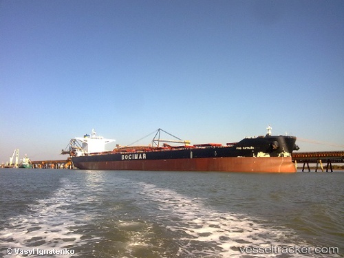
 TALISKER
Current Status
Where is the vessel?
TALISKER is currently in 46 nm SE of Saint-Philippe, based on AIS data received less than 1h ago.
Latest AIS update:
Current position: 21.94414° S, 56.31821° E (46 nm SE of Saint-Philippe)
Average speed (last 7 days): Loading…
Average speed (last 30 days): Loading…
Vessel profile: TALISKER is a Cargo with dimensions m x m.
This page combines live AIS, route history, probable destination signals, nearby traffic, and port activity for practical vessel monitoring.
The current position of vessel TALISKER is -21.94414 lat / 56.31821 lng. Updated: 2026-05-02 17:23:48 UTCNearest reference points:
- 61 nm NW of Al Azaiba
- 129 nm W of Al Azaiba
- Near Port Louis
Currently sailing under the flag of Liberia ![]()
Details:
Live Vessel TALISKER Analytics (details, animations, etc.)
Recent AIS points (UTC):
2026-05-02 13:44:59 UTC · -22.24079, 55.74453 · SOG 9.9 kn · COG 60°2026-05-02 15:40:48 UTC · -22.08454, 56.04752 · SOG 9.9 kn · COG 62°
2026-05-02 16:49:19 UTC · -21.98835, 56.22572 · SOG 10 kn · COG 65°
2026-05-02 17:23:48 UTC · -21.94414, 56.31821 · SOG 10.1 kn · COG 65°