 vesseltracker.com
 BLUE STAR
Current Status
Where is the vessel?
BLUE STAR is currently in 120 nm E of Saint George, based on AIS data received less than 1h ago.
Latest AIS update:
Current position: 31.70333° N, 62.46333° W (120 nm E of Saint George)
Average speed (last 7 days): Loading…
Average speed (last 30 days): Loading…
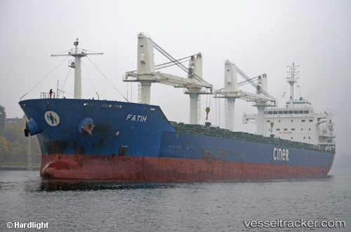
Vessel profile: BLUE STAR is a Bulk Carrier with dimensions m x m.
This page combines live AIS, route history, probable destination signals, nearby traffic, and port activity for practical vessel monitoring.
The current position of vessel BLUE STAR is 31.70333 lat / -62.46333 lng. Updated: 2026-04-30 04:15:04 UTCCurrently sailing under the flag of Liberia ![]()
Details:
Live Vessel BLUE STAR Analytics (details, animations, etc.)
Recent AIS points (UTC):
2026-04-30 01:09:05 UTC · 31.52833, -63.00333 · SOG 8 kn · COG -1°2026-04-30 01:33:02 UTC · 31.54833, -62.93500 · SOG 9 kn · COG -1°
2026-04-30 04:00:19 UTC · 31.68882, -62.50578 · SOG 9.6 kn · COG 63°
2026-04-30 04:15:04 UTC · 31.70333, -62.46333 · SOG 9 kn · COG -1°