 vesseltracker.com
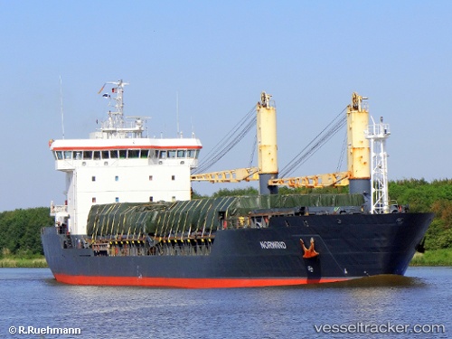
 BOZKURT
Current Status
Where is the vessel?
BOZKURT is currently in 86 nm SW of Shinari Zakynthou, based on AIS data received less than 1h ago.
Latest AIS update:
Current position: 37.06495° N, 19.22412° E (86 nm SW of Shinari Zakynthou)
Average speed (last 7 days): Loading…
Average speed (last 30 days): Loading…
Vessel profile: BOZKURT is a General Cargo with dimensions m x m.
This page combines live AIS, route history, probable destination signals, nearby traffic, and port activity for practical vessel monitoring.
The current position of vessel BOZKURT is 37.06495 lat / 19.22412 lng. Updated: 2026-04-26 03:23:44 UTCNearest reference points:
- 103 nm NE of Ryuo
- 64 nm NE of Ryuo
- 29 nm S of Strzelce Wielkie
Currently sailing under the flag of Liberia ![]()
Details:
Live Vessel BOZKURT Analytics (details, animations, etc.)
Recent AIS points (UTC):
2026-04-26 00:09:23 UTC · 36.96514, 19.71102 · SOG 7.5 kn · COG -1°2026-04-26 01:04:34 UTC · 36.99504, 19.57166 · SOG 7.5 kn · COG -1°
2026-04-26 01:34:53 UTC · 37.01158, 19.49605 · SOG 7.4 kn · COG -1°
2026-04-26 03:23:44 UTC · 37.06495, 19.22412 · SOG 7.5 kn · COG -1°