 vesseltracker.com
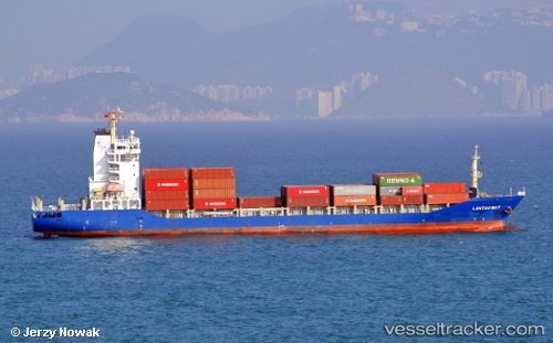
 MARTI STAR II
Current Status
Where is the vessel?
MARTI STAR II is currently in 13 nm N of Toshima/Tokyo, based on AIS data received less than 1h ago.
Latest AIS update:
Current position: 34.72532° N, 139.22762° E (13 nm N of Toshima/Tokyo)
Average speed (last 7 days): Loading…
Average speed (last 30 days): Loading…
Vessel profile: MARTI STAR II is a Container Ship with dimensions m x m.
This page combines live AIS, route history, probable destination signals, nearby traffic, and port activity for practical vessel monitoring.
The current position of vessel MARTI STAR II is 34.72532 lat / 139.22762 lng. Updated: 2026-05-13 21:23:38 UTCNearest reference points:
- Near Toshima/Tokyo
- Near Nishitokyo
- Near Iruma
Currently sailing under the flag of Liberia ![]()
Details:
Live Vessel MARTI STAR II Analytics (details, animations, etc.)
Recent AIS points (UTC):
2026-05-13 17:41:17 UTC · 34.49525, 138.41165 · SOG 12.3 kn · COG 85°2026-05-13 19:35:18 UTC · 34.52093, 138.88264 · SOG 12.7 kn · COG 86°
2026-05-13 19:59:58 UTC · 34.53573, 138.97972 · SOG 11.6 kn · COG 59°
2026-05-13 21:23:38 UTC · 34.72532, 139.22762 · SOG 11.3 kn · COG 46°