 vesseltracker.com
 Istanbul Bridge
Current Status
Where is the vessel?
Istanbul Bridge is currently in 107 nm E of Abakaliki, based on AIS data received less than 1h ago.
Latest AIS update:
Current position: 5.95970° N, 87.74938° E (107 nm E of Abakaliki)
Average speed (last 7 days): Loading…
Average speed (last 30 days): Loading…
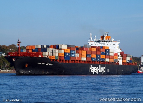
Vessel profile: Istanbul Bridge is a Container Ship with dimensions 294m x 294m.
This page combines live AIS, route history, probable destination signals, nearby traffic, and port activity for practical vessel monitoring.
The current position of vessel Istanbul Bridge is 5.95970 lat / 87.74938 lng. Updated: 2026-04-24 00:10:57 UTCNearest reference points:
- 23 nm S of Abakaliki
- 46 nm SW of Abakaliki
- 243 nm E of Abakaliki
Currently sailing under the flag of Liberia ![]()
Istanbul Bridge built in 2000 year
Deadweight:
66781 tDetails:
Live Vessel Istanbul Bridge Analytics (details, animations, etc.)
Recent AIS points (UTC):
2026-04-23 20:10:27 UTC · 5.99385, 88.87221 · SOG 16.4 kn · COG 272°2026-04-23 21:20:52 UTC · 5.99366, 88.55093 · SOG 16.5 kn · COG 274°
2026-04-23 22:32:33 UTC · 5.96422, 88.21877 · SOG 16.9 kn · COG 270°
2026-04-24 00:10:57 UTC · 5.95970, 87.74938 · SOG 16.6 kn · COG 272°