 vesseltracker.com
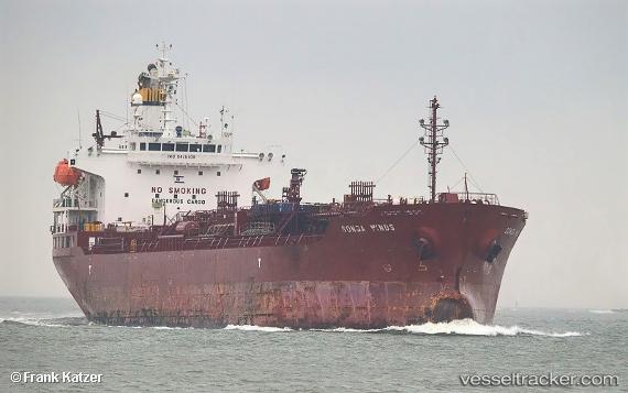
 TG VIRGO
Current Status
Where is the vessel?
TG VIRGO is currently in 103 nm SW of Nindakara, based on AIS data received less than 1h ago.
Latest AIS update:
Current position: 7.94601° N, 75.10604° E (103 nm SW of Nindakara)
Average speed (last 7 days): Loading…
Average speed (last 30 days): Loading…
Vessel profile: TG VIRGO is a Oil/Chemical Tanker with dimensions m x m.
This page combines live AIS, route history, probable destination signals, nearby traffic, and port activity for practical vessel monitoring.
The current position of vessel TG VIRGO is 7.94601 lat / 75.10604 lng. Updated: 2026-04-30 11:47:27 UTCNearest reference points:
- 45 nm SW of Kalpeni Island
- Near Cochin
- 91 nm S of Nagercoil
Currently sailing under the flag of Liberia ![]()
Details:
Live Vessel TG VIRGO Analytics (details, animations, etc.)
Recent AIS points (UTC):
2026-04-30 07:22:05 UTC · 8.32020, 74.23005 · SOG 12.4 kn · COG 113°2026-04-30 10:14:20 UTC · 8.09239, 74.79375 · SOG 12.9 kn · COG 96°
2026-04-30 10:14:20 UTC · 8.09239, 74.79375 · SOG 12.9 kn · COG 96°
2026-04-30 11:47:27 UTC · 7.94601, 75.10604 · SOG 12.9 kn · COG 118°