 vesseltracker.com
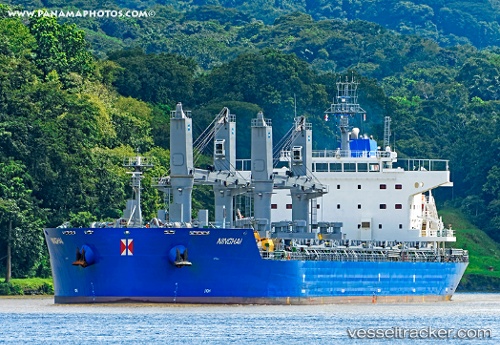
 HG STEWART
Current Status
Where is the vessel?
HG STEWART is currently in Near Puerto San José, based on AIS data received less than 1h ago.
Latest AIS update:
Current position: 13.90552° N, 90.80453° W (Near Puerto San José)
Average speed (last 7 days): Loading…
Average speed (last 30 days): Loading…
Vessel profile: HG STEWART is a Cargo with dimensions m x m.
This page combines live AIS, route history, probable destination signals, nearby traffic, and port activity for practical vessel monitoring.
The current position of vessel HG STEWART is 13.90552 lat / -90.80453 lng. Updated: 2026-04-29 15:24:59 UTCNearest reference points:
- Near San Jose
Currently sailing under the flag of Liberia ![]()
Details:
Live Vessel HG STEWART Analytics (details, animations, etc.)
Recent AIS points (UTC):
2026-04-29 11:58:01 UTC · 13.90512, -90.80443 · SOG 0 kn · COG 272°2026-04-29 13:58:03 UTC · 13.90558, -90.80452 · SOG 0 kn · COG 255°
2026-04-29 14:12:59 UTC · 13.90566, -90.80456 · SOG 0 kn · COG 248°
2026-04-29 15:24:59 UTC · 13.90552, -90.80453 · SOG 0 kn · COG 250°