 vesseltracker.com
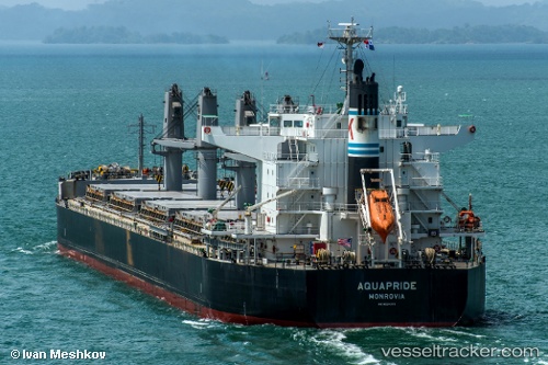
 OCEAN BEGONIA
Current Status
Where is the vessel?
OCEAN BEGONIA is currently in Near Paradip, based on AIS data received about 1h ago.
Latest AIS update:
Current position: 20.27673° N, 86.67040° E (Near Paradip)
Average speed (last 7 days): Loading…
Average speed (last 30 days): Loading…
Vessel profile: OCEAN BEGONIA is a Bulk Carrier with dimensions m x m.
This page combines live AIS, route history, probable destination signals, nearby traffic, and port activity for practical vessel monitoring.
The current position of vessel OCEAN BEGONIA is 20.27673 lat / 86.67040 lng. Updated: 2026-05-15 18:22:39 UTCNearest reference points:
- Near Paradip
- Near Paradip Garh
- 45 nm S of Contai
Currently sailing under the flag of Liberia ![]()
Details:
Live Vessel OCEAN BEGONIA Analytics (details, animations, etc.)
Recent AIS points (UTC):
2026-05-15 13:58:35 UTC · 20.27678, 86.67040 · SOG 0 kn · COG 205°2026-05-15 16:01:37 UTC · 20.27679, 86.67036 · SOG 0 kn · COG 205°
2026-05-15 17:10:38 UTC · 20.27676, 86.67039 · SOG 0 kn · COG 205°
2026-05-15 18:22:39 UTC · 20.27673, 86.67040 · SOG 0 kn · COG 205°