 vesseltracker.com
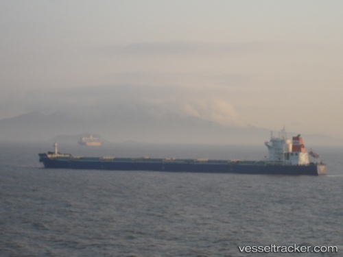
 MINOAN BAY
Current Status
Where is the vessel?
MINOAN BAY is currently in 115 nm W of Okha, based on AIS data received about 1h ago.
Latest AIS update:
Current position: 22.11500° N, 67.04667° E (115 nm W of Okha)
Average speed (last 7 days): Loading…
Average speed (last 30 days): Loading…
Vessel profile: MINOAN BAY is a Bulk Carrier with dimensions m x m.
This page combines live AIS, route history, probable destination signals, nearby traffic, and port activity for practical vessel monitoring.
The current position of vessel MINOAN BAY is 22.11500 lat / 67.04667 lng. Updated: 2026-05-14 20:02:04 UTCNearest reference points:
- 84 nm SW of Keti Bandar
- 49 nm S of Positra
- 54 nm S of Positra
Currently sailing under the flag of Liberia ![]()
Details:
Live Vessel MINOAN BAY Analytics (details, animations, etc.)
Recent AIS points (UTC):
2026-05-14 16:47:04 UTC · 22.09833, 67.00833 · SOG 0 kn · COG -1°2026-05-14 18:01:31 UTC · 22.10579, 67.02433 · SOG 0.5 kn · COG 323°
2026-05-14 19:10:52 UTC · 22.11126, 67.03654 · SOG 0.5 kn · COG 324°
2026-05-14 20:02:04 UTC · 22.11500, 67.04667 · SOG 0 kn · COG -1°