 vesseltracker.com
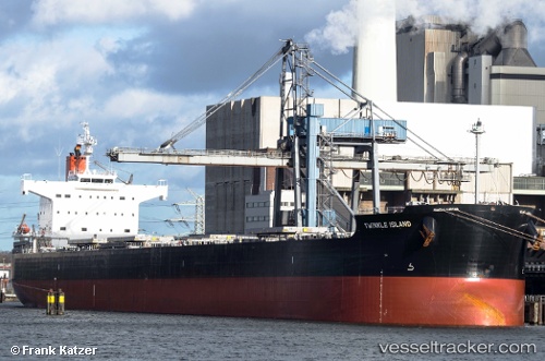
 LACERTA
Current Status
Where is the vessel?
LACERTA is currently in 122 nm E of Porto Inglez, based on AIS data received less than 1h ago.
Latest AIS update:
Current position: 15.26341° N, 21.11906° W (122 nm E of Porto Inglez)
Average speed (last 7 days): Loading…
Average speed (last 30 days): Loading…
Vessel profile: LACERTA is a Bulk Carrier with dimensions m x m.
This page combines live AIS, route history, probable destination signals, nearby traffic, and port activity for practical vessel monitoring.
The current position of vessel LACERTA is 15.26341 lat / -21.11906 lng. Updated: 2026-05-14 05:52:45 UTCNearest reference points:
- Near Ilha do Sal
- 39 nm W of Ilha do Sal
- 61 nm NW of Ilha do Sal
Currently sailing under the flag of Liberia ![]()
Details:
Live Vessel LACERTA Analytics (details, animations, etc.)
Recent AIS points (UTC):
2026-05-14 02:04:52 UTC · 14.74802, -21.36094 · SOG 8.8 kn · COG 24°2026-05-14 04:10:32 UTC · 15.02711, -21.23142 · SOG 9 kn · COG 23°
2026-05-14 04:20:02 UTC · 15.04892, -21.22041 · SOG 9 kn · COG 24°
2026-05-14 05:52:45 UTC · 15.26341, -21.11906 · SOG 9.1 kn · COG 24°