 vesseltracker.com
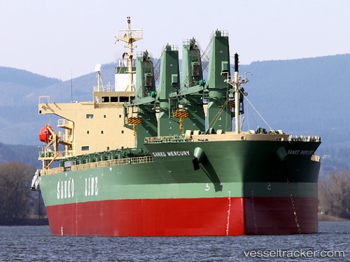
 ST. ANDREW
Current Status
Where is the vessel?
ST. ANDREW is currently in 222 nm N of Aquiraz, based on AIS data received less than 1h ago.
Latest AIS update:
Current position: 0.40243° S, 29.60907° W (222 nm N of Aquiraz)
Average speed (last 7 days): Loading…
Average speed (last 30 days): Loading…
Vessel profile: ST. ANDREW is a General Cargo with dimensions m x m.
This page combines live AIS, route history, probable destination signals, nearby traffic, and port activity for practical vessel monitoring.
The current position of vessel ST. ANDREW is -0.40243 lat / -29.60907 lng. Updated: 2026-04-24 23:37:03 UTCCurrently sailing under the flag of Liberia ![]()
Details:
Live Vessel ST. ANDREW Analytics (details, animations, etc.)
Recent AIS points (UTC):
2026-04-24 20:21:10 UTC · -0.96662, -29.95008 · SOG 12.1 kn · COG 28°2026-04-24 22:09:59 UTC · -0.65618, -29.76113 · SOG 12 kn · COG 24°
2026-04-24 23:02:10 UTC · -0.50198, -29.67098 · SOG 12.3 kn · COG 26°
2026-04-24 23:37:03 UTC · -0.40243, -29.60907 · SOG 12 kn · COG 26°